open-urban-analysis: A Skill That Lets an AI Agent Answer Siting, Flood and Coverage Questions About a City from OpenStreetMap
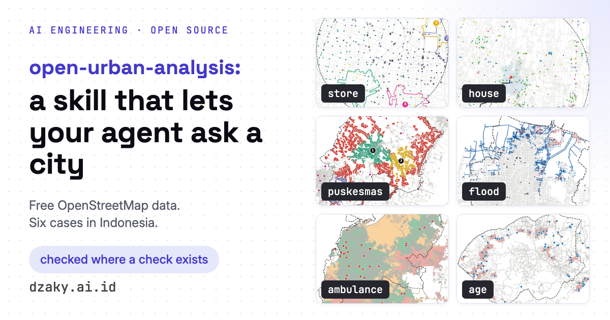
An open-source skill, in the same pattern as open-satellite-analysis and pid-parser, that you attach to an agent so it can answer questions about a city from free OpenStreetMap data and a modelled population grid: where a new minimarket would reach the most people, how far everything is from a house, where a regency's next puskesmas should go, who is cut off from a shelter as a flood rises, who an ambulance reaches in 10 minutes, and which children and elderly people are far from a school or a clinic. Six cases in Surabaya, Sleman, Demak, Pekalongan, Makassar and Sumba Barat Daya, with numbers, how each was checked, failure analysis, the data used with licences, and the limits of OSM.
aiagentsgeospatialurban-analyticsopenstreetmap
23 min read