open-satellite-analysis: A Skill That Lets an AI Agent Query Free Satellite Data About a Place
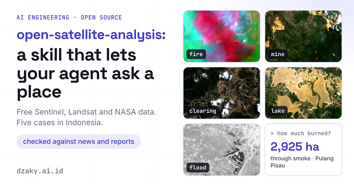
An open-source skill, in the same pattern as pid-parser, that you attach to an agent so it can query and analyse a case on a map: how much burned, how far a mine spread, how much was cleared, how big a lake is, where a flood went. Free Sentinel-1, Sentinel-2, Landsat and NASA FIRMS data with no account or key, five Indonesian cases each checked against news and reports, a coding-agent version and a LangChain Deep Agents version.
aiagentsremote-sensinggeospatial
15 min read